Finley Meier · 23 October 2026
Exploring Cornwall's Linguistic Heritage: Place-Name Mapping Project Links Cartographers and Storytellers
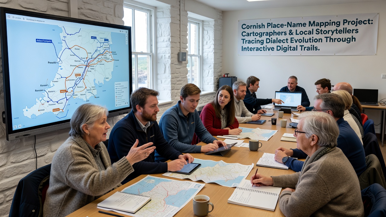
Cartographers have joined forces with local storytellers in a project that maps Cornish place names while tracing how dialects have shifted over centuries, and the effort relies on interactive digital trails to bring those changes into view for wider audiences. Researchers at participating institutions compile historical records from estate documents and oral accounts, then layer them onto digital platforms that allow users to follow routes through villages and landscapes where language patterns emerge in real time. Data from the initiative shows place names often preserve older Cornish terms that have faded from everyday speech, yet storytellers add context by recounting how pronunciation and meaning adapted during industrial periods and later migrations.
Project Structure and Methods
Teams divide tasks so cartographers handle geospatial data collection through field surveys and archival Ordnance Survey sheets, while storytellers record interviews that capture variations in dialect across parishes. Software developers integrate these inputs into trails that users access via mobile applications, and each trail highlights specific locations where name elements like "tre" for farmstead or "pol" for pool appear alongside audio clips of local pronunciations recorded in the 2020s. Observers note that this pairing reveals patterns such as the softening of certain consonants in western districts compared with eastern areas, and the trails let participants toggle between 19th-century spellings and contemporary forms to see evolution firsthand. Figures from pilot routes indicate over 450 place names documented in the first phase, with updates scheduled for release ahead of an October 2026 public launch event.
Digital Trails in Practice
One route near the north coast follows paths from an old mining village outward, stopping at sites where storytellers explain how names tied to tin extraction blended with incoming English terms during the 1800s. Participants tap points on the map to hear recordings that contrast older Cornish inflections with later adaptations, and the system logs user interactions to help researchers identify which elements draw the most attention. Similar trails in inland areas focus on agricultural terms, and the platform cross-references these with migration records showing how workers carried dialect features to other regions. Experts have observed that the interactive format encourages repeated visits, since each trail includes seasonal updates drawn from ongoing storyteller contributions.
Funding for the project comes through partnerships with regional heritage bodies and academic grants, allowing sustained fieldwork across multiple seasons. Cartographers employ drone-assisted photography alongside traditional surveying to update elevation data that influences how place names are plotted relative to terrain features, and this precision helps clarify why certain names cluster around rivers or hilltops. Storytellers, meanwhile, draw from family archives and community gatherings to supply narratives that fill gaps in written records, particularly for terms that shifted during the decline of the Cornish language in the 18th and 19th centuries.
Findings on Dialect Evolution
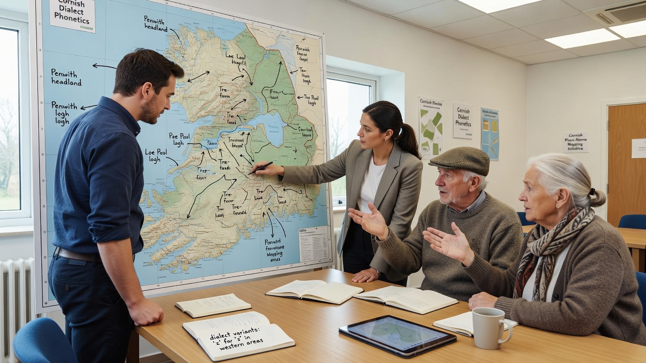
Analysis of collected data reveals that many place names retain roots from medieval Cornish while incorporating phonetic changes linked to English contact, and the digital trails make these layers visible through side-by-side comparisons. Researchers cross-check findings against studies from similar Celtic-language regions, noting parallels in how industrial activity accelerated vocabulary borrowing. The October 2026 rollout will expand access to schools and libraries, where educators can use the trails to illustrate language history without requiring physical travel. Participants in early tests report that the combination of visual maps and spoken accounts helps retain details about pronunciation shifts that printed texts alone cannot convey.
Additional routes under development target coastal settlements, where names connected to fishing and trade show distinct patterns of adaptation compared with inland farming districts. Cartographers integrate tidal and weather data into the platform so trails reflect environmental factors that historically shaped settlement names, and storytellers contribute accounts of how those names survived in local memory even after standard English replaced Cornish in official use. This layered approach produces records that government agencies and academic departments can reference for future language preservation work.
Broader Context and Next Steps
Similar mapping efforts in other parts of the British Isles have adopted elements of this model, though the Cornish project stands out for its emphasis on storyteller involvement at every stage. Data sharing agreements allow participating universities to compare results with linguistic surveys from Ireland and Scotland, and the resulting datasets feed into larger studies on minority language retention. The project team plans further expansions after the 2026 launch, including trails focused on urban areas where newer dialect influences appear alongside historic names.
Conclusion
The mapping initiative continues to grow as more routes come online and additional storyteller contributions are added to the digital archive. By pairing precise cartographic work with narrative depth, the effort supplies a record of how place names and dialects have moved together across Cornwall's landscape, and the interactive format ensures that record remains accessible for ongoing study and public engagement.